A few years back I wrote a handful of posts about faking water on top-down maps: generating 2d rivers, cliffs, and an exhumed river channel. Those one-off experiments eventually grew into a proper map library I’ve been maintaining called compass. Revisiting them now is fun because real-world geology already solved the “make it look natural” problem ages ago. I just borrow the names and loosely approximate the process. Here are three of the fluvial generators and how they actually work.
Arroyo
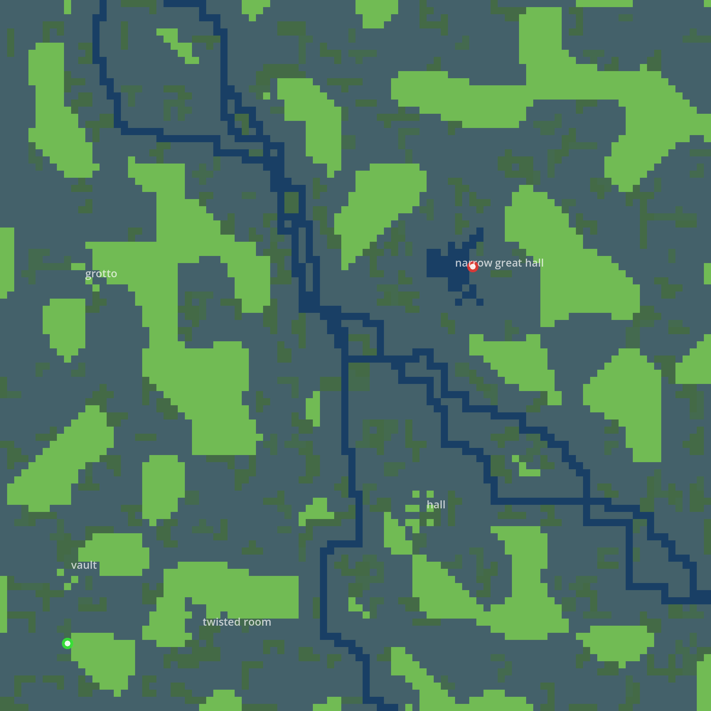
An arroyo is a dry creek bed that only runs when it rains, so it should read as a winding channel cut through rougher ground.
- Seed the map with simplex noise, biased horizontally or vertically so the roughness has a grain to it.
- Run two
drunkenPathwalks: one from a terminal edge into the center, then a second from the center out to the opposite terminal. Both walkwideso the bed has some thickness. - If a walk fails to connect (it happens), fall back to a
bresenhamsLinebetween the points so the channel never breaks. - Surround the channel with a buffer, then invert floor and wall so the carved path becomes the walkable area, and
clipOrphanedremoves anything stranded.
Alluvial Fan
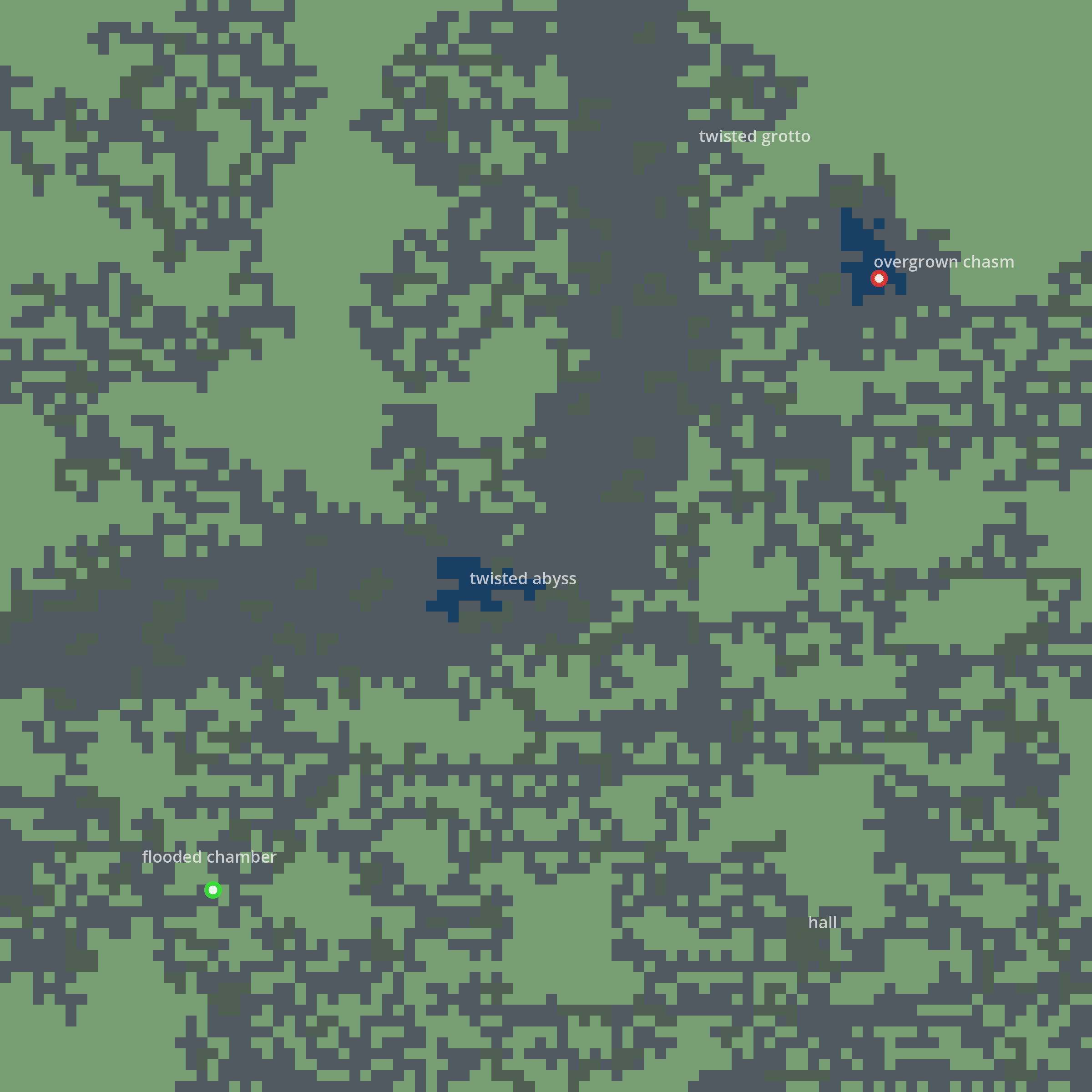
When a stream leaves a canyon and hits flat land it drops its sediment in a fan. That fan shape is the whole effect here.
- Build a continent with simplex noise, land below one threshold and water above another.
- Drunken-walk a river from an edge until it reaches the water body, recording where it entered.
- Draw the fan as an ellipse anchored at that entry point. The interesting bit is computing the foci from the semi-axes so the spread looks like deposition rather than a perfect oval, with the interior almost always water and the outer edge only sometimes.
- Surround the whole thing with a sand probability and lay one more pass of noise over the top for texture.
Braided Channel
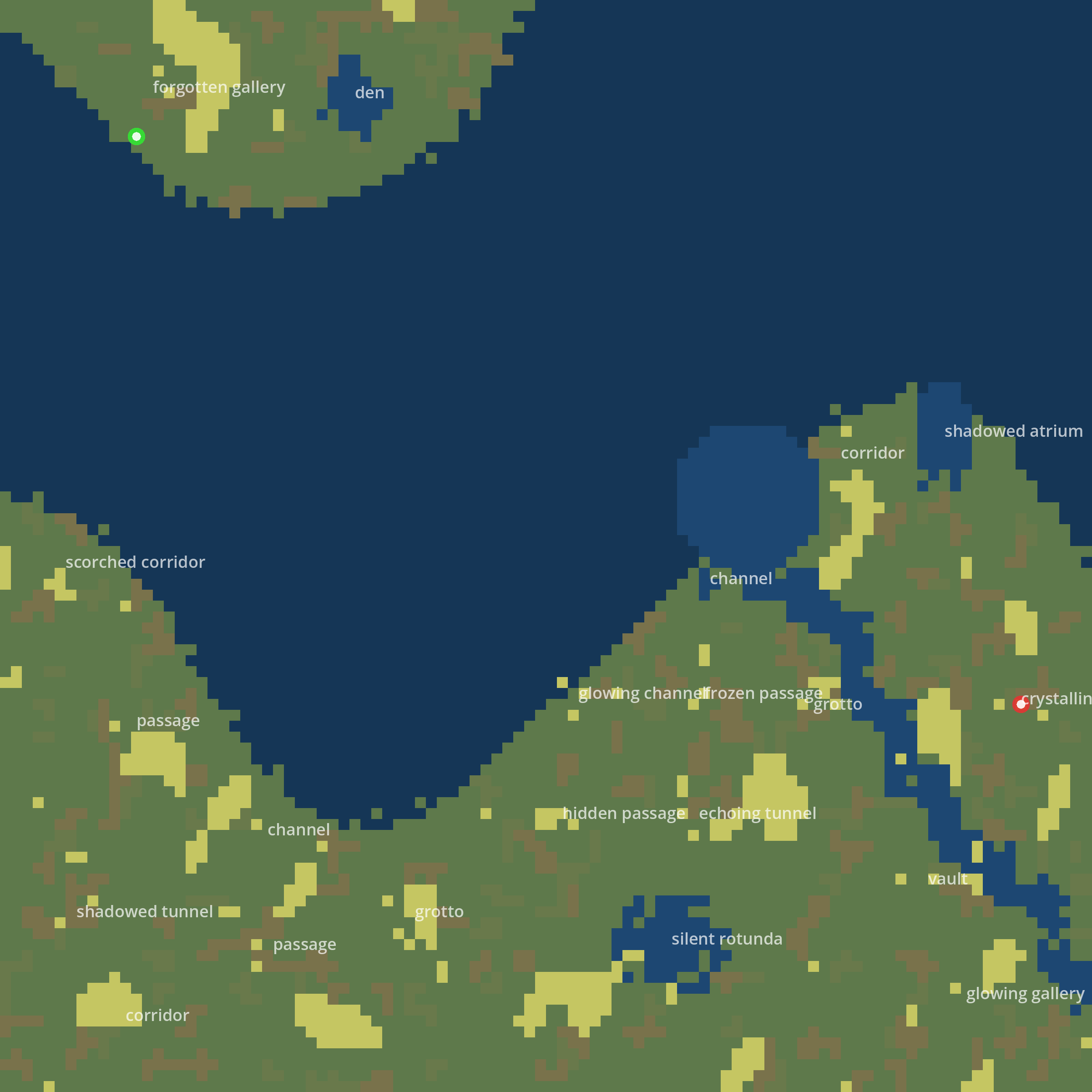
Braided rivers split and rejoin around sandbars, so instead of one path I run several.
- Pick a random direction (cardinal or diagonal) and spin up two to four parallel drunken rivers.
- If any single river fails to connect, fall back to the meander algorithm to wind it through instead.
- Fill the rest of the map with two scales of simplex noise stacked together, a coarse pass for landmasses and a fine pass for grit, cascading through thresholds into wall, rough wall, and floor.

There’s also an erosion facet that runs after the fact: it finds the exterior walls touching both floor and empty space, then nibbles them away over a few probabilistic passes, with a bonus chance when a wall already has eroded neighbors so the wear clusters naturally instead of speckling everywhere.
The thing I like looking back is that in 2018 I was hand-rolling each of these from scratch. Now they all lean on the same few primitives: a drunken walker for organic routing, noise for texture, and a couple of cleanup passes. Geology does the art direction for free.